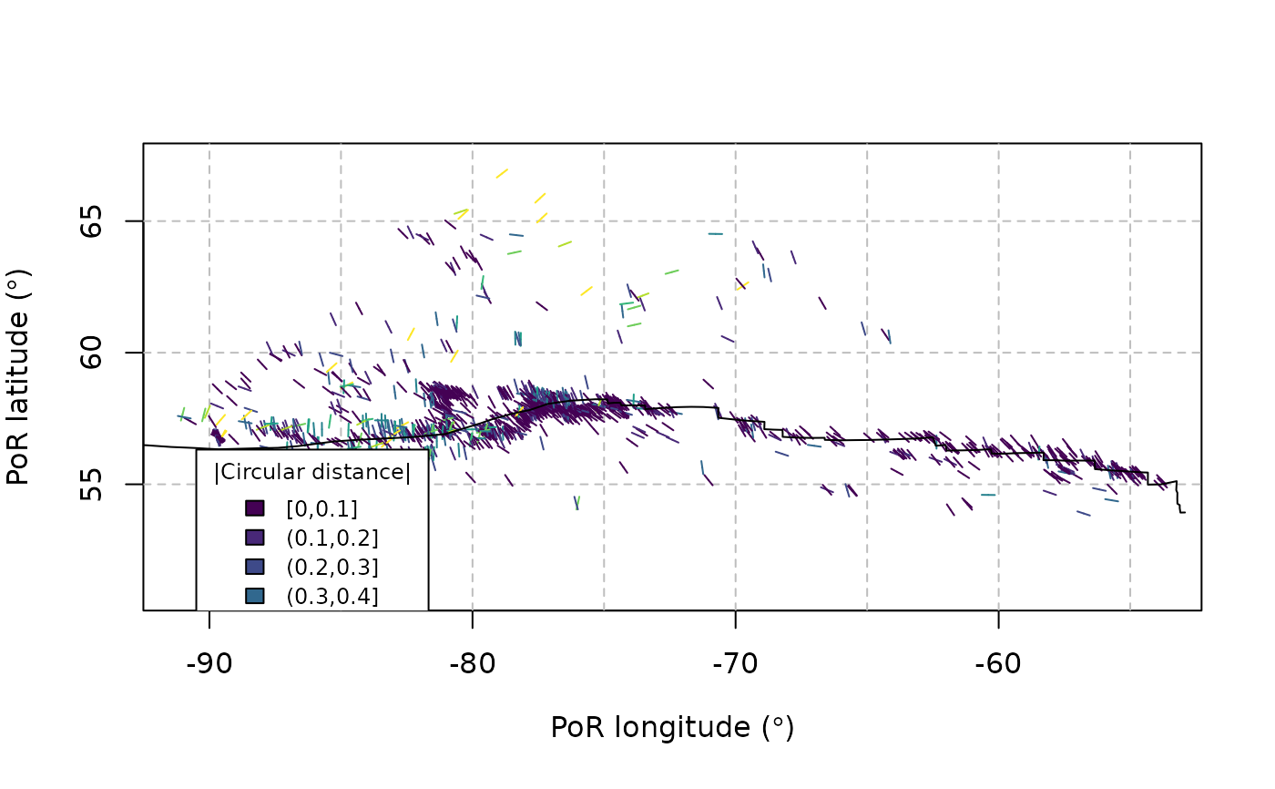
Transforms the spatial data and azimuths into the PoR reference frame and shows them in a map
Usage
PoR_map(
  x,
  PoR,
  pb = NULL,
  type = c("none", "in", "out", "right", "left"),
  show.deviation = FALSE,
  ...
)
Arguments
- x, pb
sfobjects of the data points and the plate boundary geometries in the geographical coordinate system- PoR
Pole of Rotation.
"data.frame"or object of class"euler.pole"containing the geographical coordinates of the Pole of Rotation- type
Character. Type of plate boundary (optional). Can be
"out","in","right", or"left"for outward, inward, right-lateral, or left-lateral moving plate boundaries, respectively. If"none"(the default), only the PoR-equivalent azimuth is returned.- show.deviation
logical. Whether the data should be color-coded according to the deviation from the prediction, or according to the stress regime? Is ignored if
type=='none'.- ...
optional arguments passed to
tectonicr.colors()