Project points on a cross section given by a starting point and the direction
Usage
geoprofiler(x, profile, azimuth = NULL, drop.units = TRUE)

profile_coords(x, profile, azimuth = NULL, drop.units = TRUE)Value
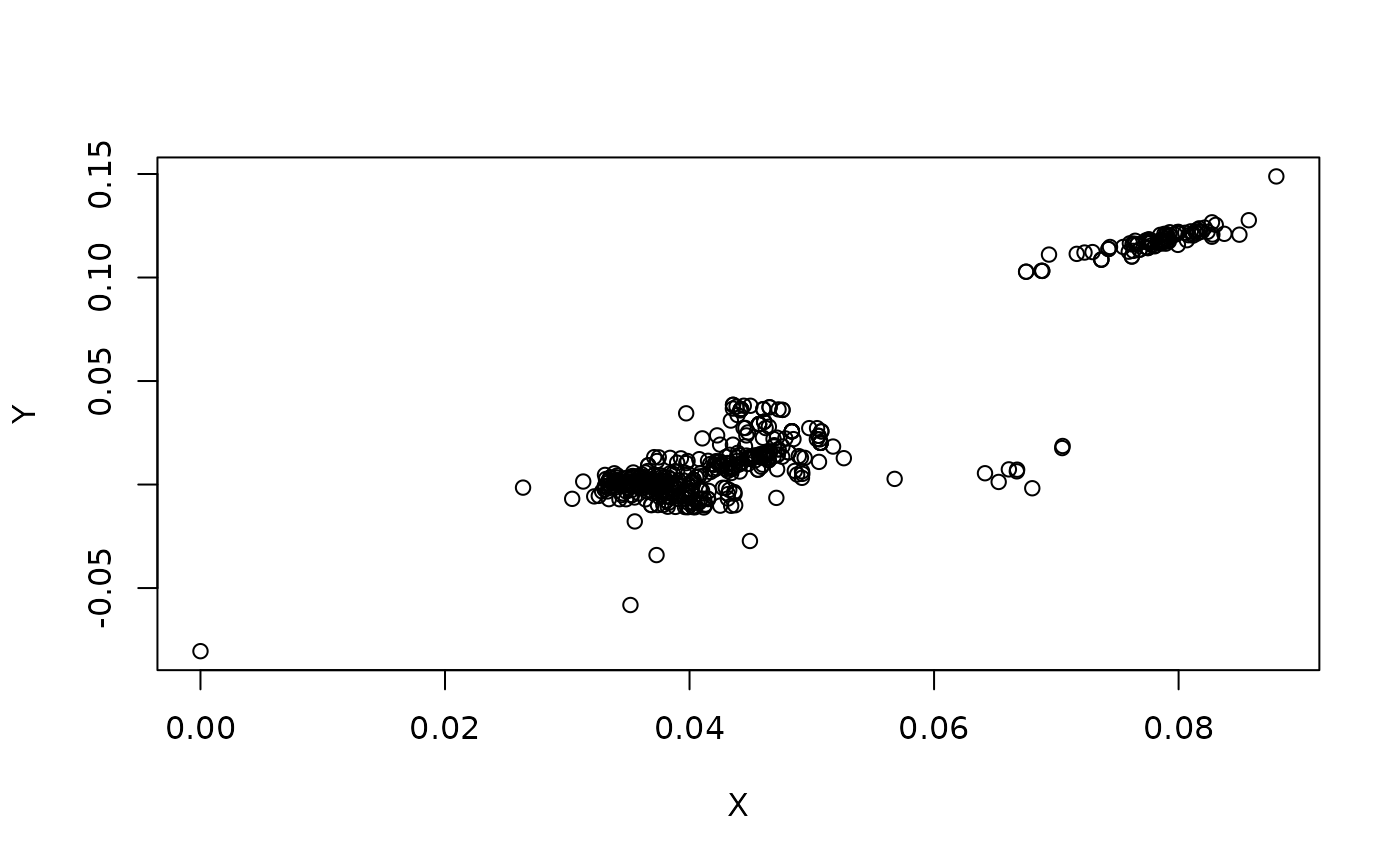
tibble where X is the distance along the profile line.
Y is the distance across the profile line. (units of X and Y depend on
coordinate reference system).
Details
![[Superseded]](figures/lifecycle-superseded.svg)
profile_coords() is superseded by geoprofiler() because the name of the
function is more intuitive.
See also
Other profile:
profile_azimuth(),
profile_line(),
profile_points()
Examples
data(locations_example)
p1 <- data.frame(lon = -90.8, lat = 48.6) |>
  sf::st_as_sf(coords = c("lon", "lat"), crs = "WGS84")
profile_crds <- geoprofiler(locations_example, profile = p1, azimuth = 135)
head(profile_crds)
#> # A tibble: 6 × 2
#>        X        Y
#>    <dbl>    <dbl>
#> 1 0.0778  0.116
#> 2 0.0450  0.0123
#> 3 0.0369 -0.00996
#> 4 0.0397 -0.00690
#> 5 0.0383 -0.00885
#> 6 0.0335  0.00333

# Plot the transformed coordinates
plot(profile_crds)